
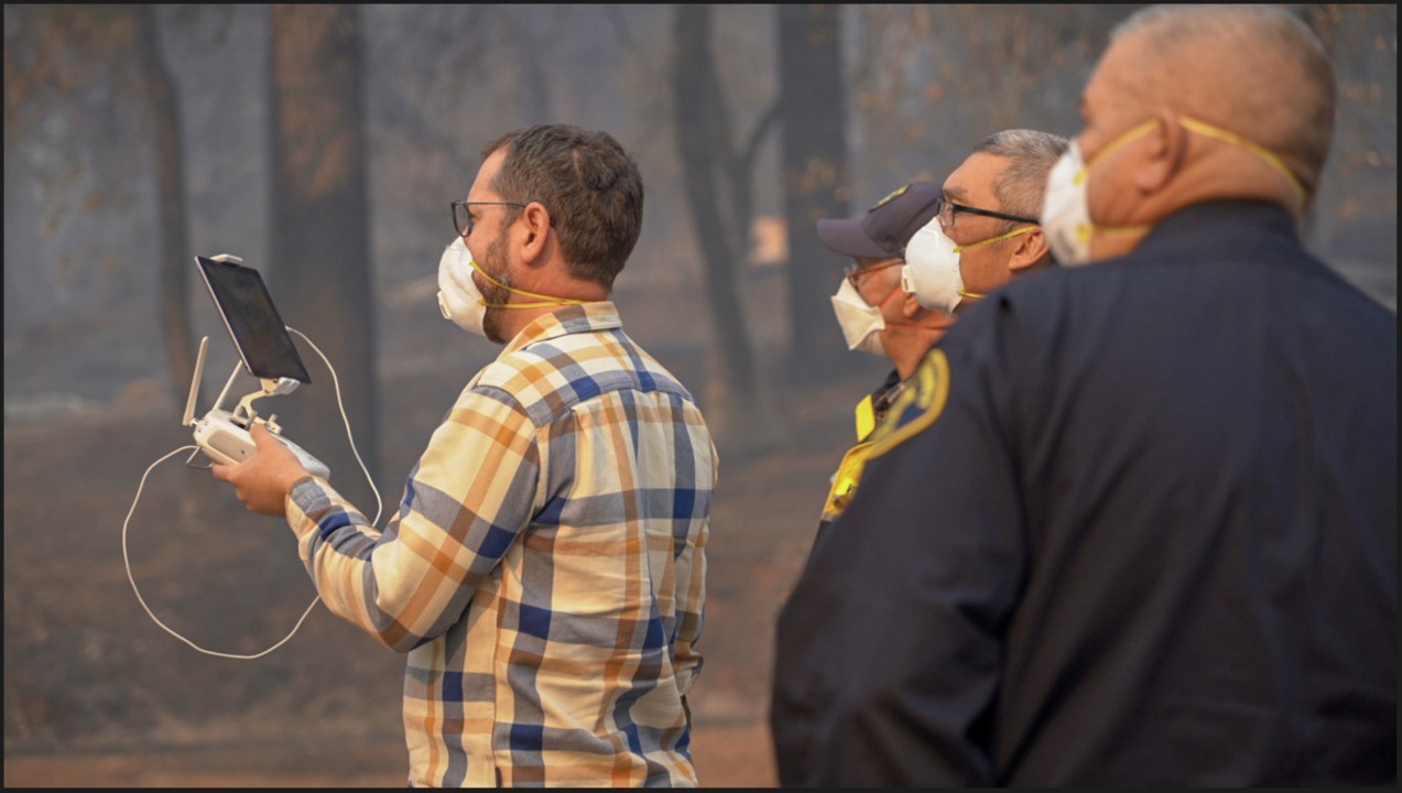
A former colleague of mine and someone I have a ton of respect for, Dr. Greg Crutsinger from Scholar Farms, has been doing some amazing work figuring out ways to use a combination of software platforms to provide a truly valuable service for first responders and residents involved in the tragic fires in California in 2019. Greg was the data coordinator for a joint-agency task force of public safety UAS teams mapping the town of Paradise. This town was critically impacted by the Camp Fire with loss of life, many missing persons, and the majority of properties destroyed including 10,000 homes.
Multiple companies and agencies came together in a really impactful way to use drone technology and data visualization. The map of Paradise below compiles 70,324 images, 477GB of data, 1.4 trillion pixels of map images captured, and features a unique collaboration of various drone technology platforms. The base map is run through DroneDeploy, video with the feature to scrub back and forth in time and display on a map is executed by Survae, and 360 photos are captured, processed, and showcased through Hangar. The data went direct to Butte County and Cal Fire coordinating the searches and was made available to all local, state, and federal agencies.
I love this project for several reasons. Greg did this out of the kindness of his heart as a volunteer! Also, the whole project was driven by real demand for a better understanding of the fire’s impact. Finally, the combination of these platforms led to a truly valuable end product…as you’ll see below.
View the project (desktop recommended) here.
View the Survae video map here.
View a before/after in ARCGIS (desktop recommended) here.
Read Greg’s article about the project on LinkedIn
An interesting graphic from the project:

Photo credit: Casey Tholburn